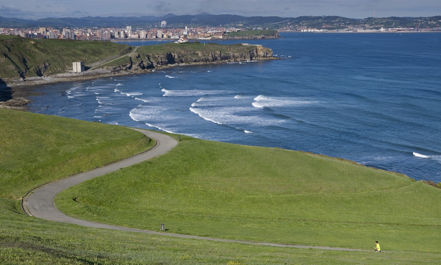
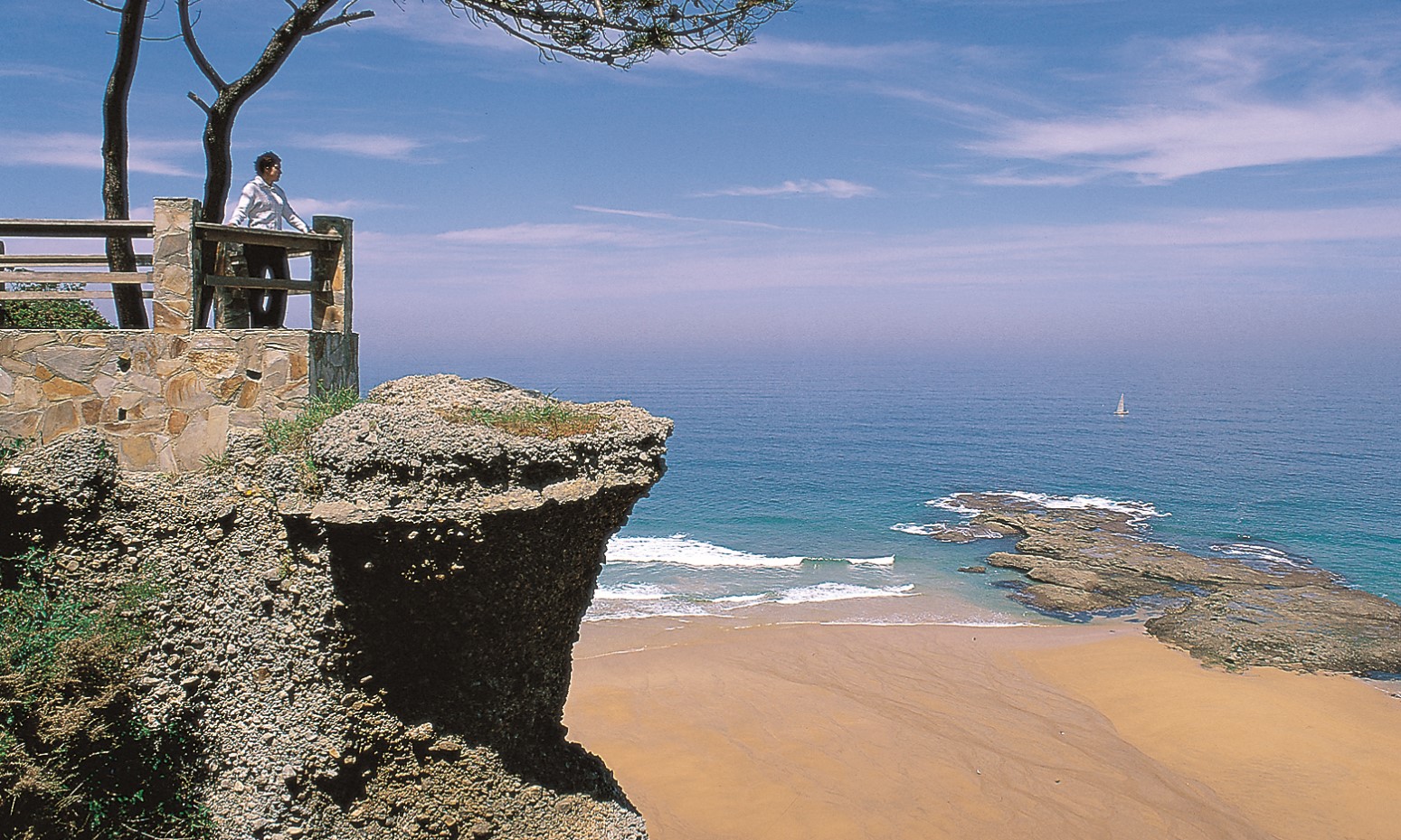
A tour of the coast of the eastern part of the municipality of Gijón/Xixón. It allows you to get to know this part of the wildest coastline, with high cliffs, rocky areas and small beaches in places unaltered by the industrial and urban growth that characterises the coastal environment of the western neighbourhoods.

Walking: 3 hours.
By bike: 1 hour 15 minutes.

Type of pavement:
Tile, paved stone and asphalt.
Sections with stairs
Recommended path to walk.

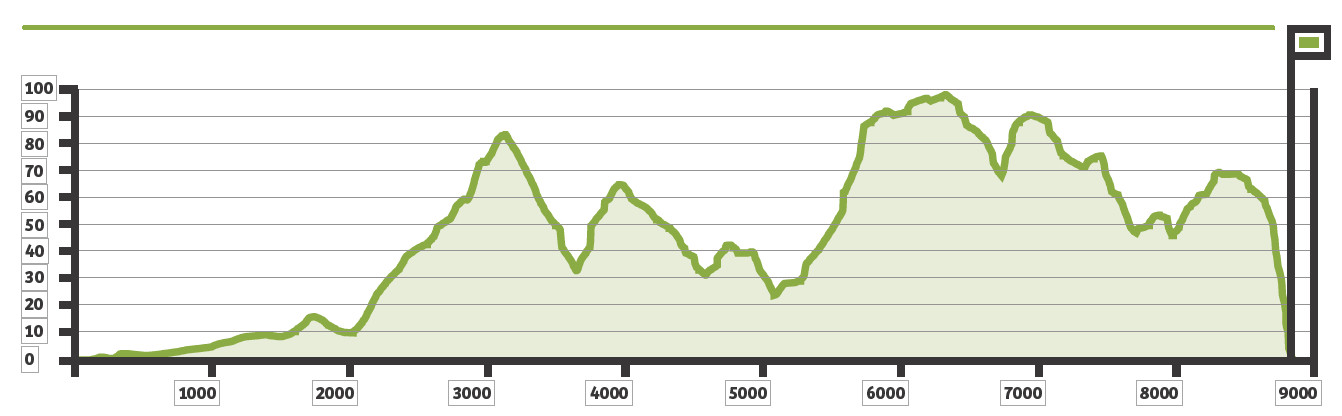
Elevation gain: 99 metres.
Cumulative elevation gain: 292 meters
We start just above Cervigón beach, better known as El Rinconín beach, which allows dogs all year round.
|
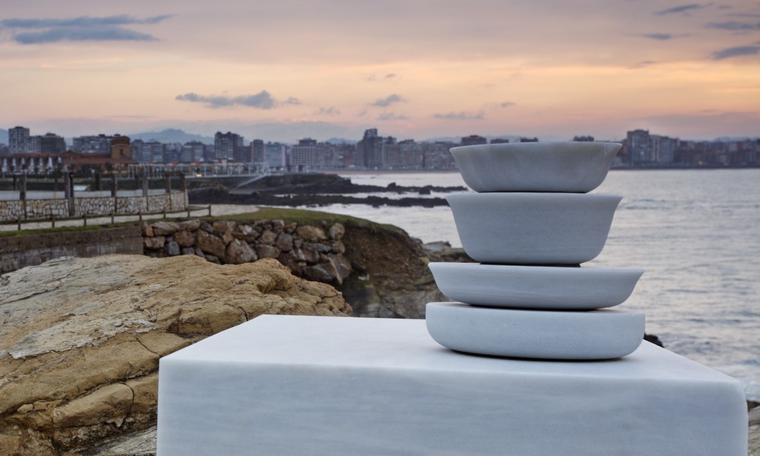
On our way we will find the sculpture Cantu los díes fuxíos, by Adolfo Manzano, made of macael marble, and Solidaridad, by Pepe Noja, made of stainless steel, which weighs three and a half tons and is made up of four cylindrical shapes like links that intertwine. From the green meadows of El Rinconín, we can already see the ascent to the house of Rosario Acuña (writer and journalist born in 1850, who was a defender of equality between men and women) and who gives her name to this walk. (word test)
|
 |
Past the house we see the tip of Cabo San Lorenzo with
the beach of Peñarrubia at its feet. Next to the recreational area, in the autumn of 2003, the sculpture made by Joaquín Rubio Camín was inaugurated, called Castillo de Salas, whose name comes from the bulk carrier who ran aground 800 meters north of Campo Valdés in 1986. The path, after being crossed by the asphalt road, zigzags up to the Cabo San Lorenzo Park, having two options, either to go up stairs or by the path.
From the viewpoint, in the shape of a ship’s prow, we can see several sculptures such as
Homage to Galileo Galilei XV, in the lower part of the park, made by Amadeo Gabino in corten steel, and Germinator Landscape, in the same meadow, the work of Miguel Ángel Lombardía Canga that is open to any interpretation. We continue bordering the entire Cabo de San Lorenzo Park, climbing towards the Colina del Cuervo, already in the vicinity of the Chapel of Providence.
After flattening next to
Serín beach, you go down to the asphalt road that goes to
Estaño beach. After crossing the stream that pours its waters into this sandy area, a steep slope begins that brings us closer to the end of the path at La Ñora beach, from which it is barely a kilometre away. In its final section, the walk enters a colorful ocalital (eucalyptus forest) with a spectacular viewpoint over
La Ñora beach. We can return along the same path or link up with the path that, starting from La Ñora beach, leads us to
La Llorea.