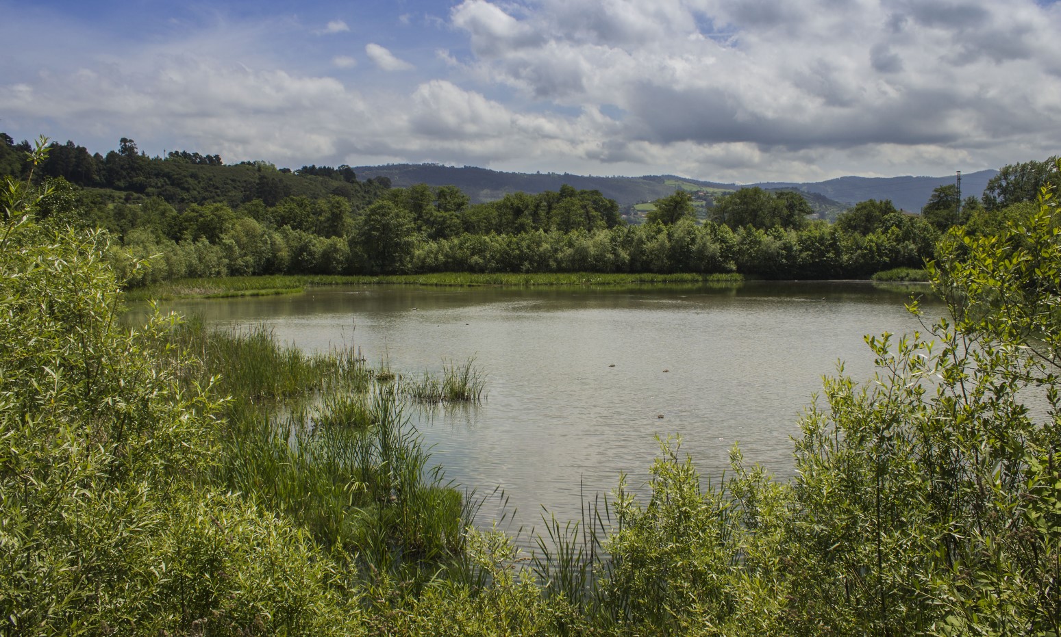

This river itinerary associated with the Piles River extends for 19 kilometres between the Piles bridge and the parish of Vega. From the green area known as the kilometrín, and along its first two kilometres, the path takes on the air of a quiet urban promenade, set by trees and designer lampposts. Past the La Guía roundabout, where the Piles River receives the Peñafrancia, the path takes on a more natural appearance and the coloured asphalt floor gives way to a limestone sandstone soil.

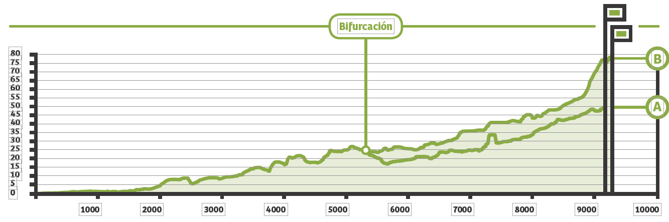
Walking andTime A: 2 hours and 5 minutes.
Walking andItinerary B: 2 hours and 10 minutes
By bike: 50 minutes both itineraries

Type of pavement: compacted limestone zahorarra

Elevation gain itinerary A: 49 metres.
Elevation gain for route B: 76 metres.
Cumulative elevation gain Itinerary A: 105 metres.
Cumulative elevation gain Itinerary B: 119 metres.
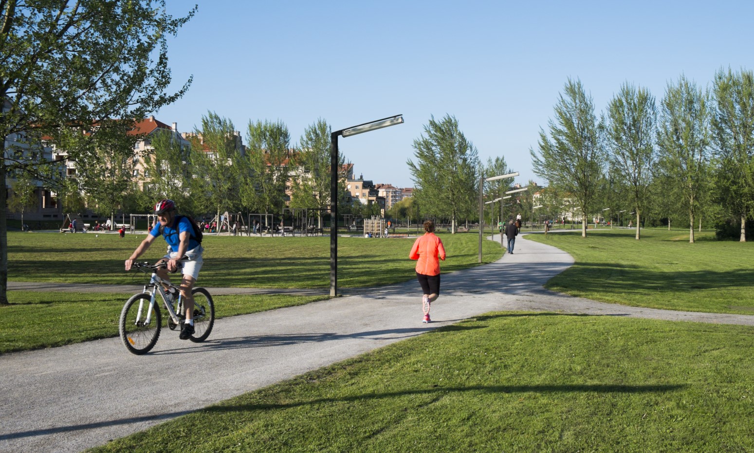
After skirting the facilities of the Covadonga Group and Les Mestes, we enter the Viesques neighbourhood, to the Piles river park. Of all the tangle of paths that run through it, the most beautiful is that it is accompanied by the capricious flow of the Piles River, which draws wide meanders through this area, accompanied by alignments of poplars, willows and alders. With the murmur of water in our ears and after avoiding several wooden bridges, we leave the park for the area of La Coría.
Crossing a grove of birch and oak trees, the path takes us in the direction of the great road link formed by the union of the Cantabrian and Minera motorways. After this stretch, and after crossing a small slope, El Caballón stands in front of us, an artificial elevation that is part of the large wetland projected in this area to absorb the floods of the Piles River. A few metres ahead, a crossroads allows us to continue the walk following the course of the Piles or take the path that runs parallel to the Canal del Molín.
The path of the Canal del Molín runs through a sea of meadows in the neighbourhood of Granda de Baxo, until it reaches the confluence with the Llantones stream. As we advance, the path becomes more comfortable, shaded by poplars, alders and old oaks that arch their crowns towards the path. The final section is the most beautiful, both because of its sinuous layout, and because of the abundant vegetation that populates its banks. At the water crossing, where an important marshy alder grove (16 hectares) is being recovered, we must decide whether to continue the march following the Llantones stream or take the path of the Piles river.
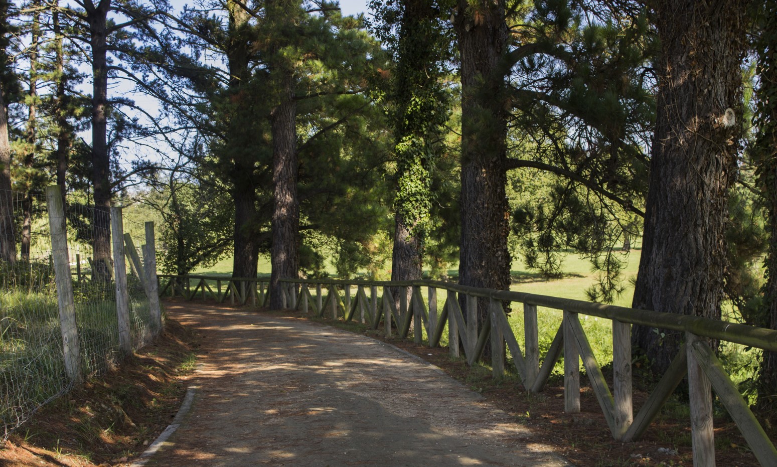
The path of the Llantones stream allows us to extend our journey until we link up with the Camocha Greenway. Less than a kilometre from the water crossing, we find the irrigation channel that served the mill of Manolo el Río, an old traditional quintana. A few metres further on, the path passes under the Pola de Siero road, leaving the old schools of Granda on the right. The path now runs through its most attractive part, ambushed among the riverside vegetation and set by the continuous song of the water. The Llantones receives here the waters that moved the Gilledo mill, which is a few meters ahead. As we advance, the path enters the wide meadows of La Reina and La Belga until the proximity of the La Camocha mine anticipates the end of the itinerary. After leaving the municipal facilities of Piti, another one starts from the main road that accompanies the Llantones to the so-called leisure orchards. From this crossroads, the path says goodbye to the river in search of the Camín de Cagüezo, where we can link up with the La Camocha Greenway.
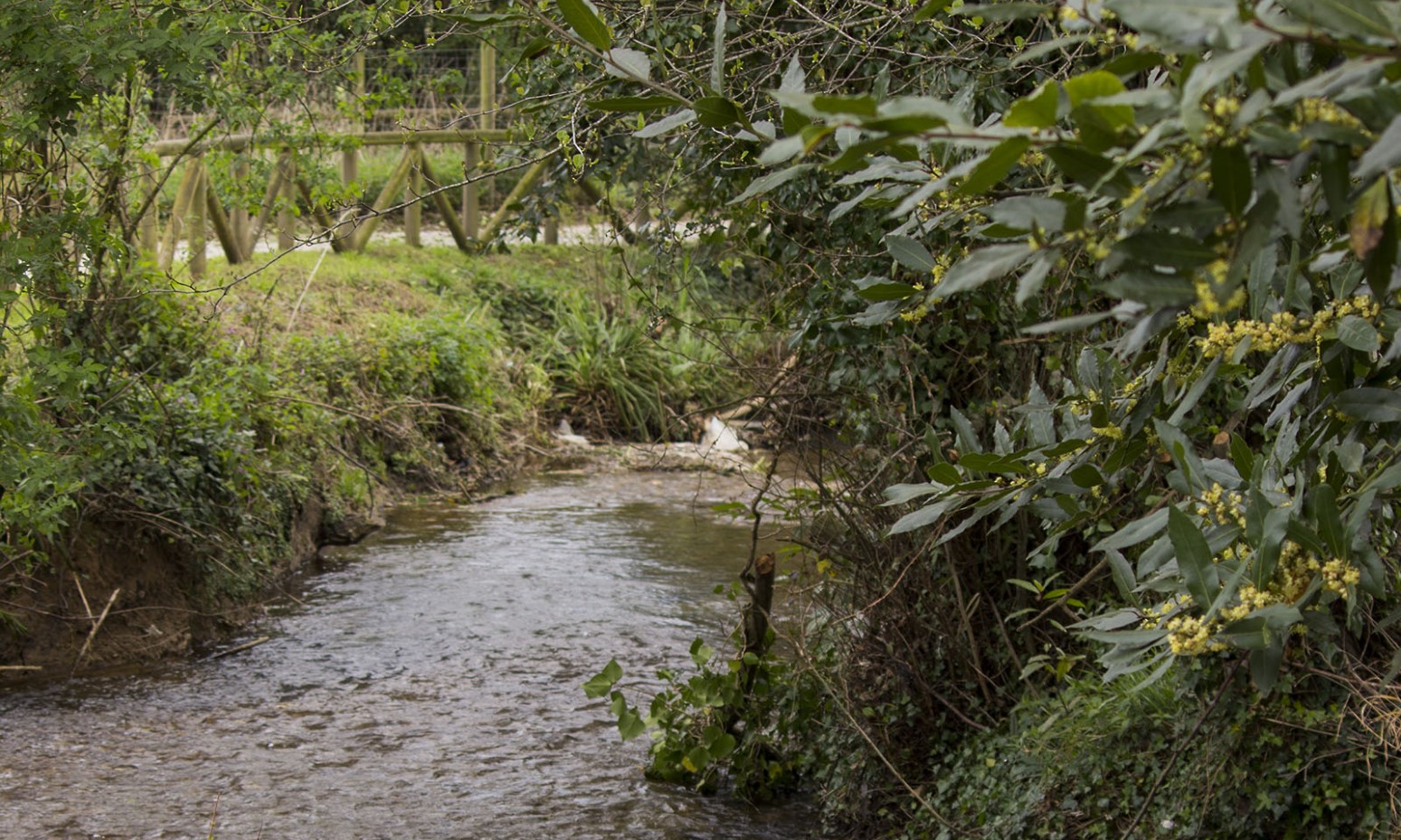
We recover the Piles path at the place where the Canal del Molín path begins. For the first 500 metres, the path crosses the Carbayera river park, until we reach the path from Granda to Cabueñes, which leads us to the Vaones bridge, where the path recovers its natural layout. The path is pleasant, to acquire greater liveliness in the vicinity of the water crossing, where the river traces deep meanders and the riverside vegetation becomes more exuberant. A wooden footbridge connects this path with the paths of the Llantones stream and the Canal del Molín. Upstream, the path curves and rises slightly until we recognize the first houses of Vega de Baxo. In the vicinity of the Pola de Siero road, the path follows the course of the Santecía stream to Vega (1,550 metres), crossing the aforementioned road by a pedestrian bridge. Now the path winds along the right bank of the river, crossing the places of Les Prairíes and La Piquella, to the vicinity of the Primero de Mayo park, where it ends.