

This route, which follows a large part of the route of the mining railway that connected the wells of La Camocha with Veriña, starts from El Poblao de Santa Bárbara (Tremañes), a neighbourhood of industrial origin in the fifties of the twentieth century, and easily accessible by Avenida de Oviedo/Uviéu.

Walking: 1 hour 40 minutes.
By bike: 35 minutes.

Type of pavement: compacted limestone, asphalt

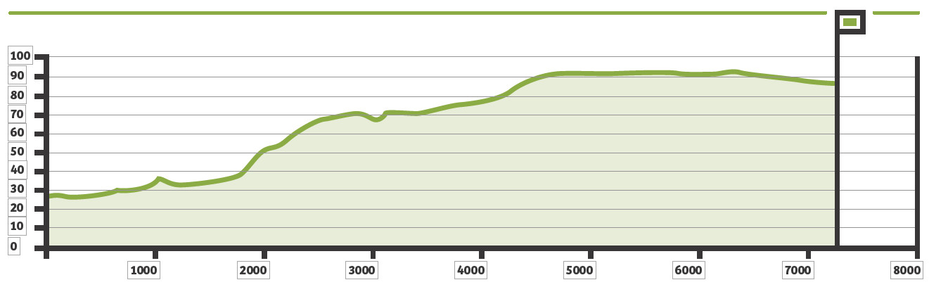
Elevation gain: 68 metres.
Cumulative elevation gain: 96 metres.
From the sports court our route begins descending a gentle slope, next to the extensive Quinta La Torre estate, former palace of the Marquises of Casa Tremañes, and a short distance from the motorway. The descent ends in front of the football fields, in the vicinity of the El Morteru fountain, where the stele consecrated to the Roman goddess of health Fortuna Balnearis was found. The greenway now runs parallel to the Pilón stream, in a section with abundant trees and riverside vegetation, and which we will cross by a wooden pedestrian bridge to enter La Fana, in the parish of Roces.
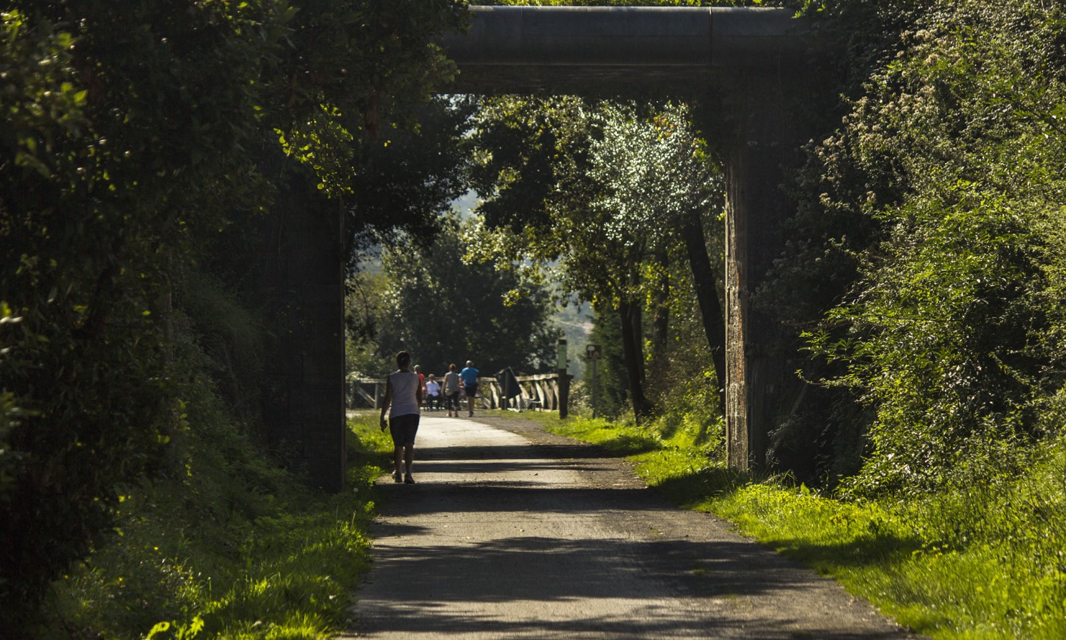
In Roces we pass under the Oviedo/Uviéu road, then exiting into an area of abundant industrial estates parallel to Louis Pasteur street, which are immediately left behind, as we approach a stretch from which we will identify the palace of the Duchess of Riansares, in the middle of a tree extension of undoubted ecological interest. Weeping, chestnut trees, carbayos and poplars, among other native species, are the trees that we admire as we pass; Ferns and plasters (hawthorns, brambles) grow on the banks in the shade of the grove.
Above, on our right, we see some naves of the La Vega industrial estate, in the parish of Porceyo; here the stream marks the dividing line between this parish and that of La Pedrera, a good place to rest next to the restored La Pinganiella fountain. After another crossroads, we pass very close to a quintana (Asturian farmhouse) very highlighted: that of Casa Rubiera, in La Pedrera, to the right of the greenway. The house has a manor shield, formed by six circles or points; next to it is the old llagarón (large cider press) and, opposite, a bread basket decorated with motifs of Asturian popular art.
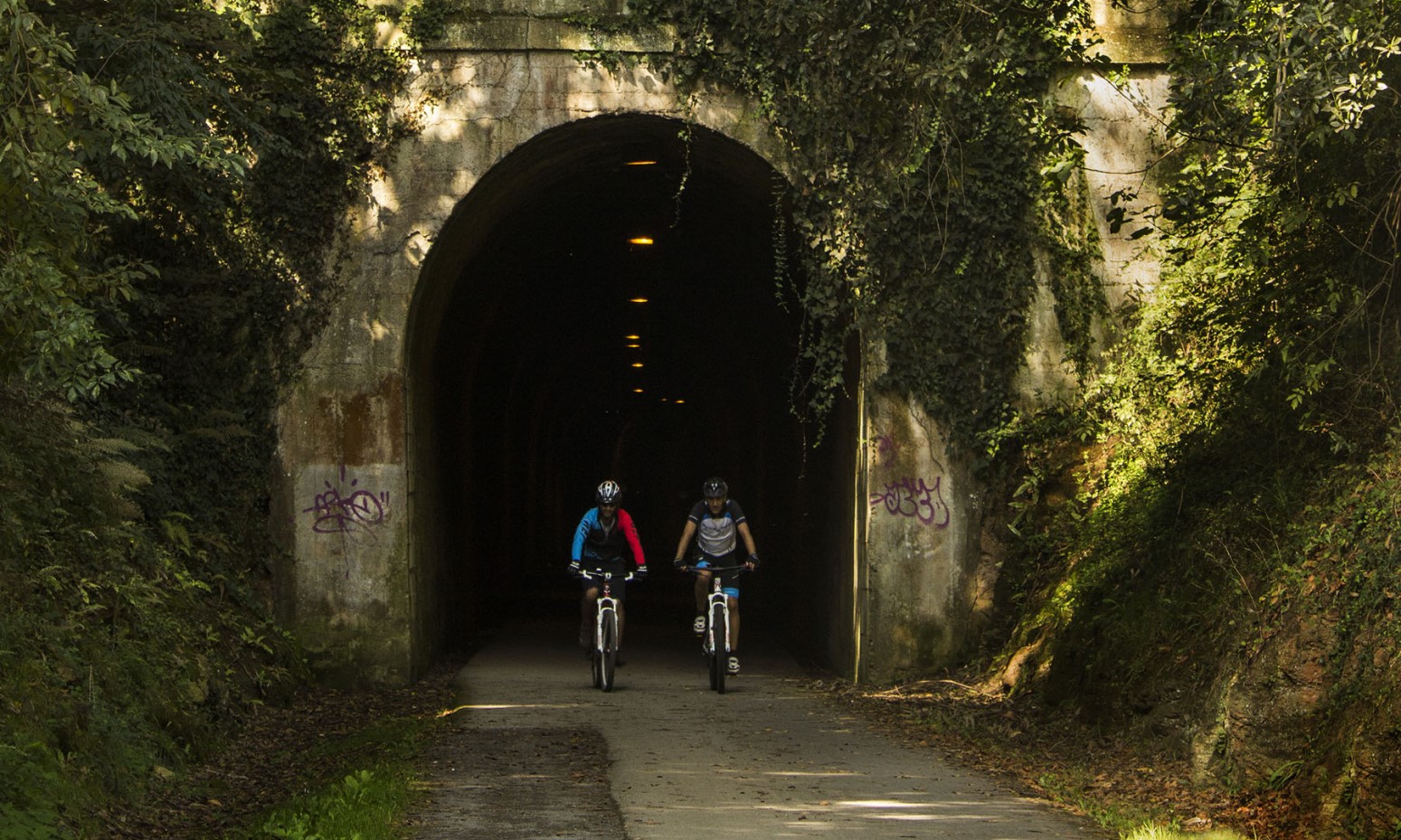
We pass the La Pedrera stream and a long illuminated tunnel, which passes under the Carbonera road, leads us to the parish of Leorio/Llorio. There, on our left, above some orchards, is the La Torre estate, with the facilities of the old Asturian Center (currently Real Grupo Covadonga), in the neighborhood of Mareo de Baxo. Then we arrive at the puentón (old railway bridge), where there is another rest area, with excellent views to the south of the valley of Llantones, El Picumil and l’Altu La Madera. When we resumed the route we noticed the silhouette of the old parish church of Santa María de Leorio (X.XII), ruined after the Civil War and not rebuilt, as a large part of its elements were used in the cemetery of La Pedrera to build a pantheon, an almost exact replica of the primitive temple. Below, at the foot of the bridge, was the house in which the famous Payares mill stood, one of the many that worked with the water of the Llantones stream, and where an artistic carved bread basket is preserved.
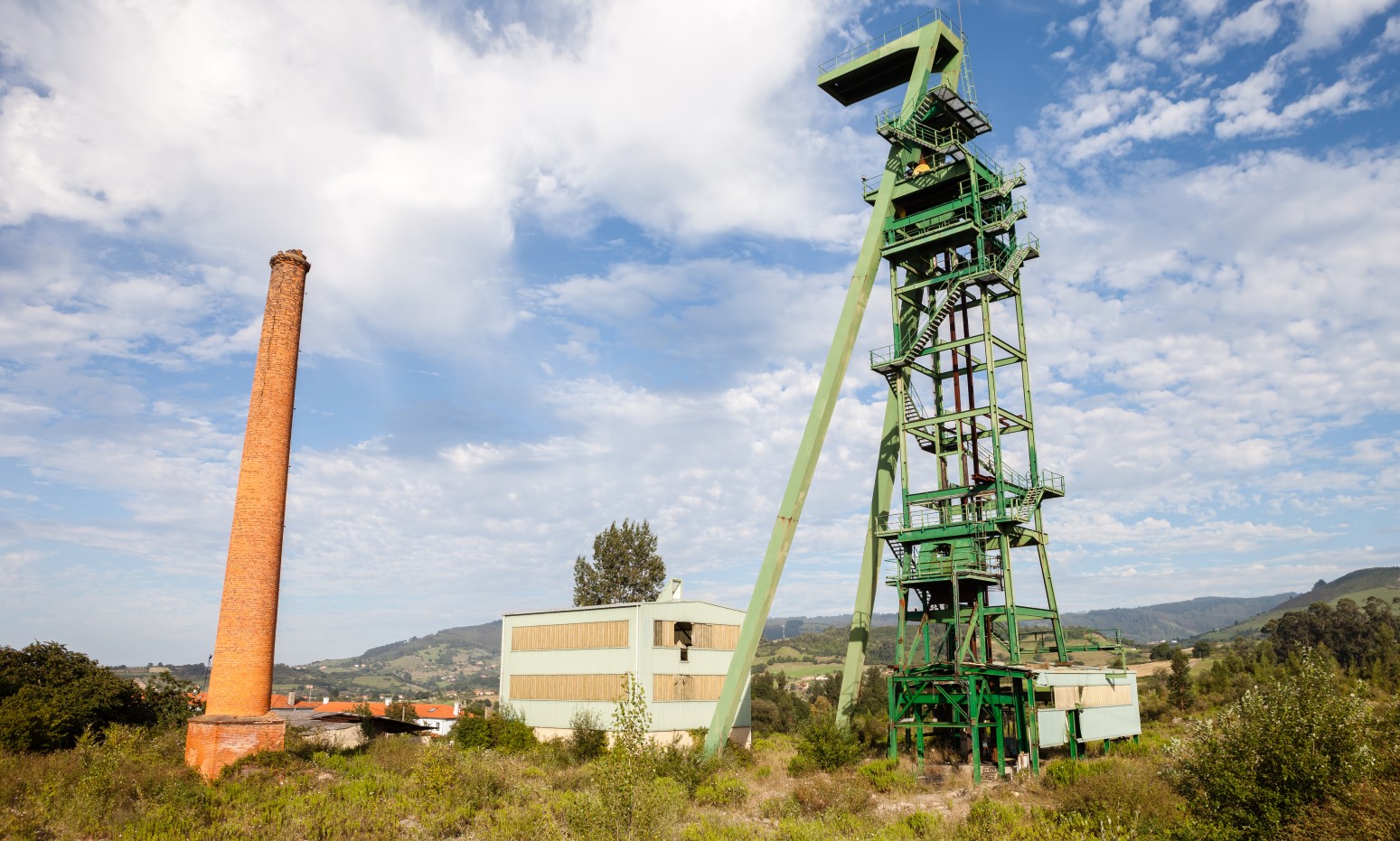
Passing under the viaduct of the Minera motorway, we take as a reference the silhouette of the Picu’l Sol, which we identify when we enter the parish of Samartín de Güerces through the Cagüezu neighbourhood, an idyllic rural landscape dominated by the high towers of the shafts of the La Camocha mine, at the foot of which this route ends. Discovered around 1901 on the initiative of the Felgueroso Brothers, work did not begin on the site until 1928.
Resting, either at the rest area at the end of the journey or at the nearby Cagüezo fountain, we can decide if we return by the same route, if we do it going down to Granda or Roces, or if we take the bus that passes through the vicinity.